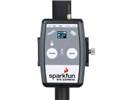
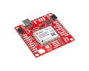
The SparkFun RTK Facet is an easy-to-use, all-in-one surveying solution that delivers NGS-calibrated, centimetre-grade accuracy to your phone or GIS device over Bluetooth, complete with a built-in L1/L2 antenna and ZED-F9P module.
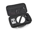
The SparkFun RTK Facet is your all-in-one solution for high-precision geolocation and surveying. It delivers centimetre-grade measurements in minutes, packing the power of a $10,000 surveying device into a package that is smaller, easier to use, and far more economical.
For basic users, setup is incredibly simple. For advanced users, the RTK Facet is a flexible, powerful, and fully open-source tool. With full calibration by the National Geodetic Survey (NGS), you can trust its professional-grade accuracy for your most demanding projects.
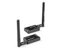
The RTK Facet is designed to work seamlessly with your smartphone. By connecting your phone to the RTK Facet over Bluetooth, your phone provides the correction data (from an NTRIP service via the internet) and simultaneously receives the high-accuracy NMEA position output.
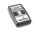
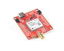
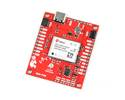
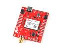
Under the bonnet, the RTK Facet integrates a powerful ESP32 WROOM, the u-blox ZED-F9P GNSS module, a LiPo fuel gauge, and a microSD card slot for logging.
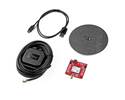
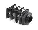
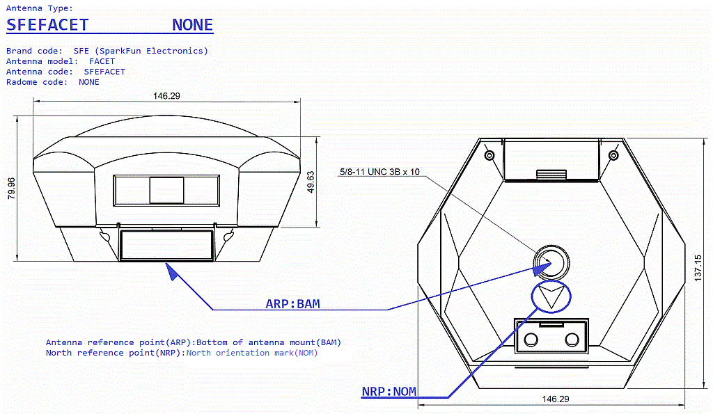
Housed inside the protective dome is a surveyor-grade, multi-band L1/L2 antenna. This is the same antenna element found in our standalone high-performance antenna and features a precise Antenna Reference Point (ARP) for surveying.
The RTK Facet is a fully open-source hardware product, programmed in Arduino. You have full access to the electrical and mechanical design files, allowing you to inspect, modify, and tailor the device to your exact needs. It is also capable of logging NMEA, RAWX, and SFRBX data directly to the microSD card for post-processing and research.
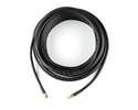
Note: For a permanent base station, we recommend using our L1/L2/L5 Surveying Antenna connected to a protected Reference Station or a ZED-F9P breakout-based solution. See our DIY GNSS Reference Station tutorial for more details.
| Hardware | Datasheet(s) | Guide(s) | Other Documentation |
|---|---|---|---|
| Main Board Schematic | Datasheet (ZED-F9P) | Hookup Guide | Renew your PointPerfect Subscription |
| Display Board Schematic | ESP32-WROOM | RTK Product Manual | About SparkPNT |
| Connector Board Schematic | Qwiic Info Page | ||
| GitHub Hardware Repo | GitHub Firmware Repo |


