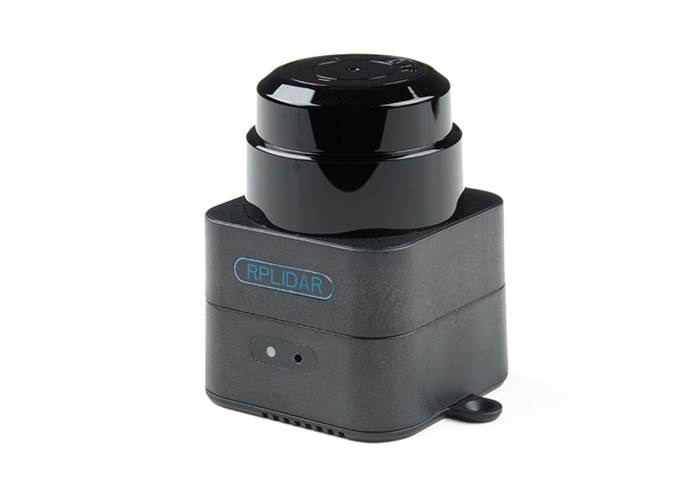
The SLAMTEC Mapper Pro Kit is a new type of laser sensor introduced by (you guessed it) SLAMTEC, which is different from the traditional LIDAR.
The SLAMTEC Mapper Pro Kit is a new type of laser sensor introduced by (you guessed it) SLAMTEC, which is different from the traditional LIDAR. It has built-in functions of simultaneous localisation and mapping (SLAM), and is suitable for many applications such as robot navigation and positioning, environmental mapping and hand-held measurement.
The Developer Kit uses SLAMTEC's unique SLAM optimisation algorithm and high-performance LIDAR to fuse map data more than 10 times per second and construct up to 100,000 square meters of mapping area. The LIDAR carries out 9200 measurements per second, and the longest ranging distance can reach 40 meters. The built-in processing system can process data in real time and output high-precision map and pose.
The SLAMTEC Mapper uses SharpEdge™ fine mapping technology, which can actively detect and correct closed-loop, and achieve 100,000 square meters high-precision map and pose. The Mapper can work without additional sensors or data input. Because of the built-in 9-DOF inertial navigation system, the SLAMTEC Mapper in the hand-held mapping mode can work normally in fluctuating environment with inclination, to ensure the best map data quality.
Also provided is a complete SDK development kit that prodives mobile phone and PC-side evaluation tools to facilitate users to expand development and data acquisition. At the same time, combined with the supporting ROS driver, the generated map and pose data can be directly used in the ROS environment, which is fully compatible.
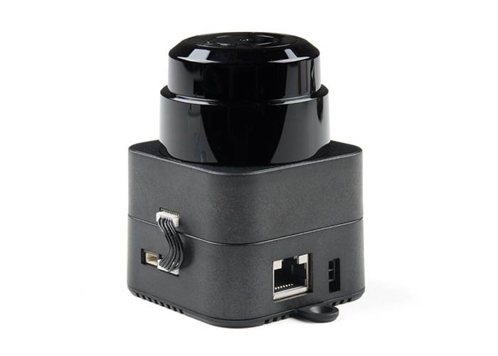
The SLAMTEC Mapper can be directly used as a LIDAR sensor in addition to its own mapping and positioning functions. Through SDK or ROS node, the LIDAR data can be quickly accessed to users'existing systems.